What's Overhead
Not everything overhead is interesting. What's Overhead filters 19,000+ objects down to the handful actually worth looking up for.
LIVE 3D SATELLITE TRACKER
19,000+ satellites, stations and spacecraft — tracked live on a real-time 3D globe, computed entirely on your device.
Free · No account · No ads · Nothing ever leaves your device
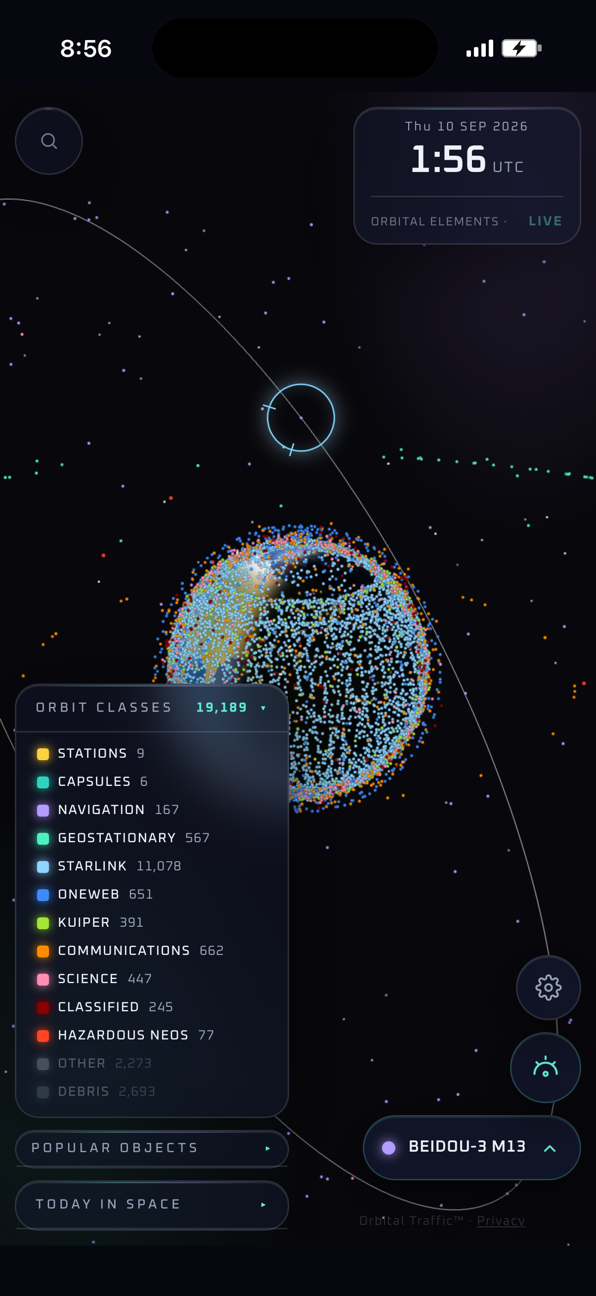
Currently tracking
19,000+ live positions load instantly — no login, no setup, no waiting.
Select any object for its full story, or use What's Overhead to see what's actually above you right now.
Follow it live, save it to your list, or generate a shareable card to show what you found.
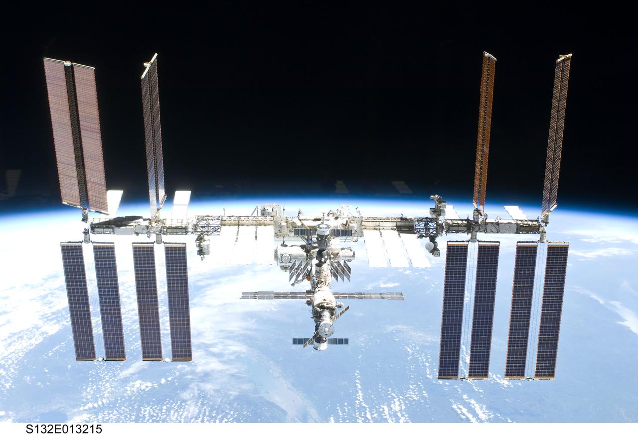
THE FEATURE PEOPLE OPEN THE APP FOR
Tap once to see the notable objects passing high above you right now — no guessing, no simulation, just real orbital mechanics computed on your device.
Real screenshots. Real orbital data. Tap anything and this is what you get.
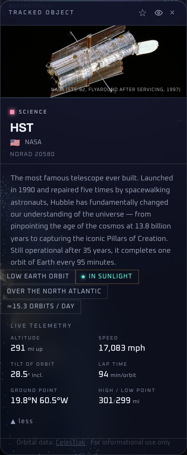
Hand-written profiles on 1,700+ notable objects — who built it, why it's up there — plus live telemetry on everything.
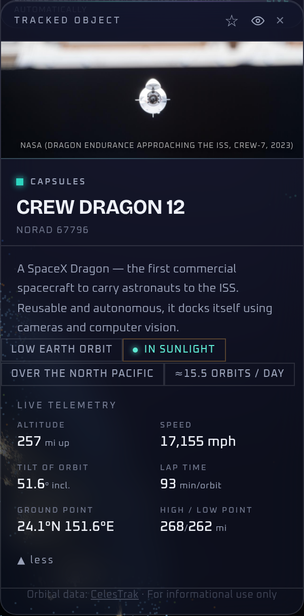
Watch crewed capsules and cargo freighters — Dragon, Soyuz, Progress and Cygnus — from launch through docking to landing.
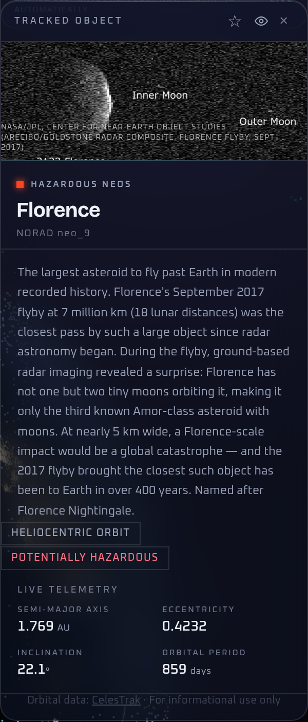
Dozens of near-Earth asteroids on their real heliocentric orbits — sizes, close-approach dates, the works.
Not everything overhead is interesting. What's Overhead filters 19,000+ objects down to the handful actually worth looking up for.
Star your favorite objects or add them to a watchlist to check in on later.
Found something interesting in orbit? Generate a shareable card and show everyone what's flying overhead.
Completely free. No ads, no subscriptions, no account required.
Yes — after the first load it works offline, and the catalog refreshes automatically the next time you're online.
No. What's Overhead uses your location entirely on your device to work out what's above you — it's never transmitted or stored, by us or anyone else.
iOS is available now on the App Store. It also installs as a full app on Android and desktop straight from your browser, no app store required.
Real orbital data from CelesTrak, NASA/JPL, and Launch Library 2 — refreshed continuously, not simulated.
Orbital positions are exactly to scale — every altitude is drawn true, so the space station really does fly that close to the surface and the geostationary ring really is that far out. Object sizes are not, and cannot be: at a typical zoom one pixel covers tens of kilometres, so a satellite drawn true to size would be smaller than a single pixel. The dots are map markers, like a city on a road atlas.